Drone Cleaning & Drone Inspection
Services in Hong Kong
Hong Kong and Macao's most trusted enterprise drone services — CAD (Hong Kong) and AACM (Macao) compliant aerial cleaning, structural inspection, LiDAR surveying, and digital twin solutions across the Greater Bay Area.
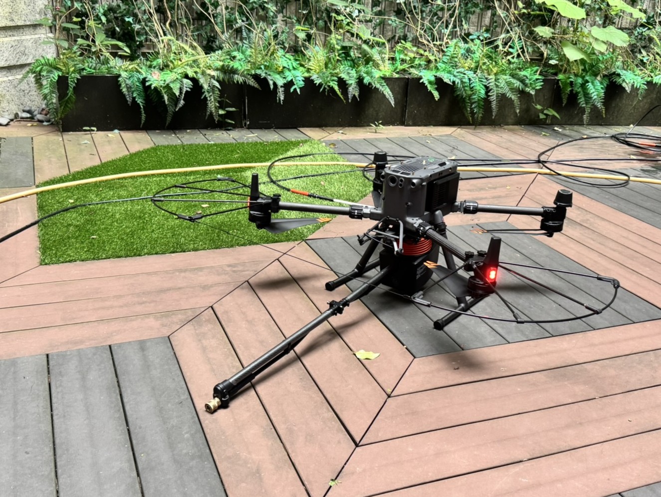
High-Rise Building Facade Cleaning
CAD (Hong Kong) and AACM (Macao) compliant drone facade cleaning for high-rises across Hong Kong and Macao. Eliminates rope access risks, minimises tenant disruption, and uses certified biodegradable solutions.
External Window Cleaning
Safe, smear-free drone window cleaning for commercial and residential towers. Reaches inaccessible angles without scaffold or gondola.
Post-Construction Cleaning
Specialist drone cleaning for newly built or renovated buildings — removing construction dust, cement residue, and debris.
Hazardous Area Industrial Cleaning
SUA-deployed cleaning for chemical plants, refineries, and high-risk industrial sites — keeping workers out of danger while maintaining 100% CAD (Hong Kong) and AACM (Macao) compliance.
Industrial Asset Cleaning
Professional drone maintenance cleaning for cranes, cooling towers, silos, and critical infrastructure assets.
Rooftop Aircon Unit Washing
Drone-delivered HVAC condenser unit cleaning for high-rise commercial buildings — extending equipment lifespan and improving cooling efficiency.
Heritage & Listed Building Cleaning
Specialist low-pressure drone cleaning for Hong Kong's historic and Grade-I listed buildings — gently removing decades of grime.
Roof & Solar Panel Cleaning
Maximise solar energy ROI with professional drone solar panel cleaning — removing dust, pollution, and bird fouling.
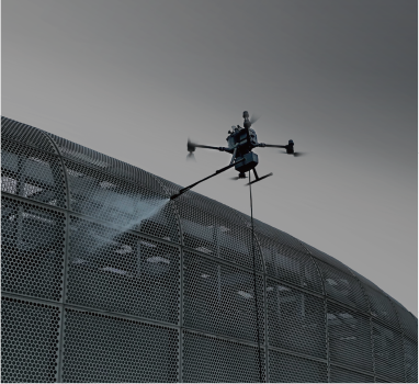
Stadiums & Large Venue Cleaning
Drone cleaning for large-span stadium roofs, tensile membrane structures, and event venues.
Marine & Vessel Cleaning
Professional drone hull and superstructure cleaning for superyachts and commercial vessels — reducing dry-dock time.
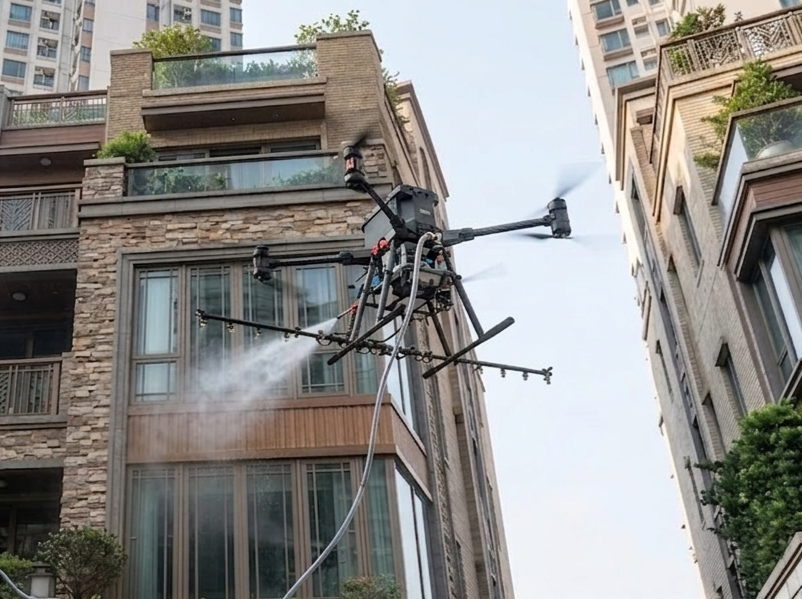
Why Drone Cleaning Operations Outperform Traditional Methods
Drone operations eliminate all human exposure to heights, hazardous chemicals, and confined spaces — delivering a safer worksite and full compliance with Hong Kong safety regulations.
SUA precision cleaning uses up to 70% less water than conventional pressure washing, utilising certified eco-friendly detergents.
Drone deployment takes minutes versus days for scaffold or gondola rigging — dramatically accelerating project timelines.
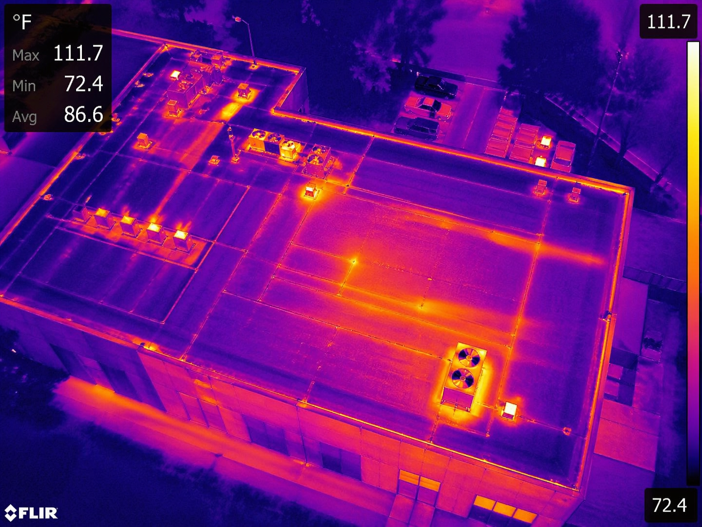
Infrared Thermography Surveys
Non-destructive SUA thermal imaging to pinpoint water ingress, structural voids, insulation failures, and electrical hotspots.
Ultra-HD Facade Visual Surveys
45MP+ aerial photography for millimetre-level crack mapping, spalling detection, and material degradation documentation.
Confined & Restricted Space Inspection
Collision-tolerant indoor drones safely inspect sewers, tunnels, bridge box girders, and utility voids.
AI-Powered Defect Analysis
Machine learning algorithms automatically classify structural defects, prioritise maintenance interventions, and generate compliance-ready inspection reports.
Gas Detection
SUA-mounted gas sensors detect hazardous leaks, toxic concentrations, and air quality anomalies in confined or inaccessible areas — keeping inspection teams safely away from dangerous environments.
Ocean / Water Sampling Collection
Drone-deployed water sampling systems collect ocean, river, and reservoir specimens from precise GPS-tagged locations — enabling environmental monitoring, pollution analysis, and marine research without vessel deployment.
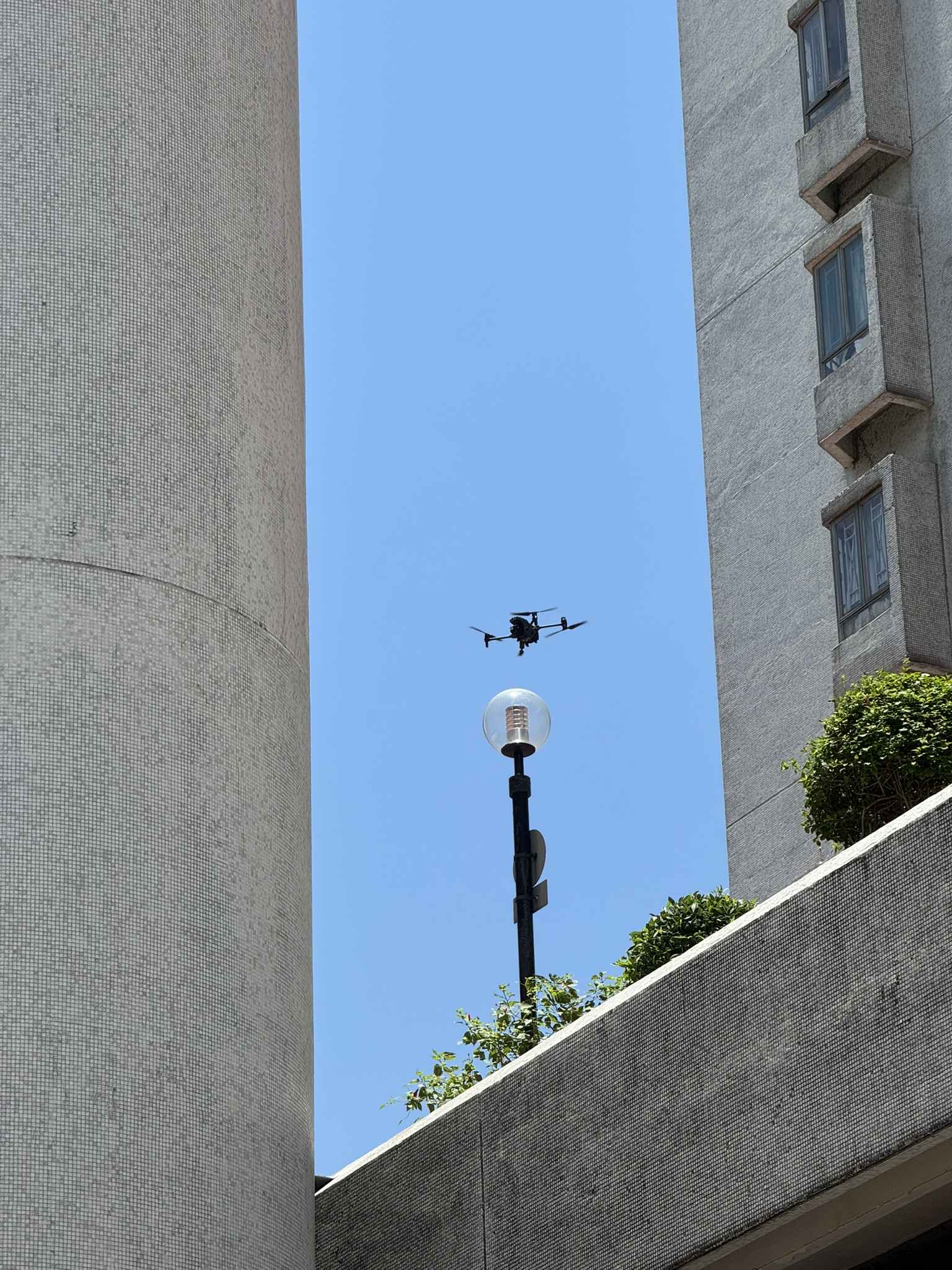
Aerial LiDAR Point Cloud Surveys
High-density airborne LiDAR creating survey-grade 3D point clouds of buildings, infrastructure, and complex terrain.
BIM Model Integration
Transforming drone survey data into fully compliant BIM-compatible models for construction progress monitoring and as-built verification.
Digital Twin Creation
Photorealistic, data-rich 3D digital replicas of buildings and assets — enabling predictive maintenance and remote facility management.
Topographic & Land Survey
High-accuracy SUA topographic surveys delivering geo-referenced elevation data, contour mapping, and volumetric calculations for construction, engineering, and land development projects across Hong Kong.
Photogrammetric 3D Modelling
Drone-captured aerial imagery processed into dense, photorealistic 3D mesh models — ideal for site planning, heritage documentation, and progress monitoring.
Orthomosaic Mapping
Centimetre-accurate, georeferenced orthomosaic maps — providing planners, engineers, and surveyors with a true-to-scale, measurable top-down view of any site.
The LAE Drone (HK) and SKYMIND LAE (MO) Operational Standard
Full Regulatory Compliance
As an approved Advanced Operations Permission Holder of Hong Kong's Civil Aviation Department, every LAE Drone (HK) and SKYMIND LAE (MO) operation is conducted under the Small Unmanned Aircraft Order (SUA), our CAD Advanced Operations Permission (AOP), Macao's AACM drone regulations, and all applicable airspace and safety regulations — no exceptions.
AI-Enhanced Data Analysis
Proprietary AI processing pipelines deliver faster defect identification, more accurate structural risk assessment, and richer data insights.
Local Expertise & Logistical Efficiency
Our Hong Kong-based operations team navigates the city's complex airspace, dense urban environment, and unique building stock with precision.